A Bit Above Sea Level
I decided the ocean air was too thick so I headed up to the Sierras Walking around a little bit. You might think that camera gear might become lighter the closer you get to outer space, but that ain't so. I am beginning to suspect that the weight of camera gear increases in direct ratio to the number of miles one carries it multiplied by altitude.
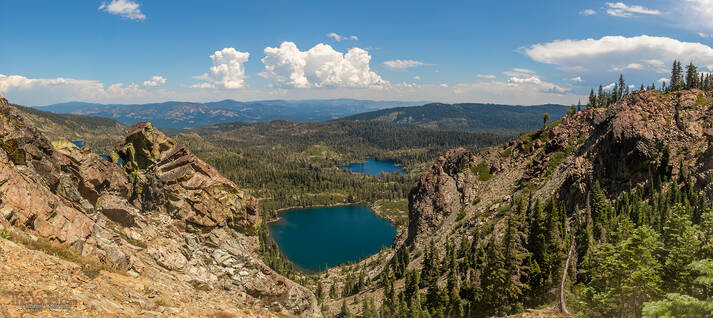
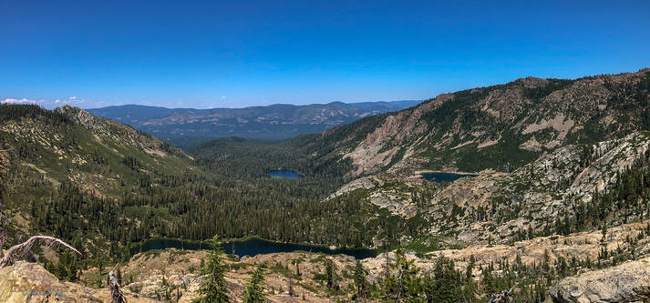
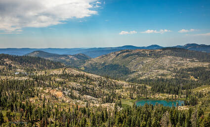
Anyhow, the first shot it takes from the Pacific Crest Trail looking down through a glacially carved channel above Round Lake.
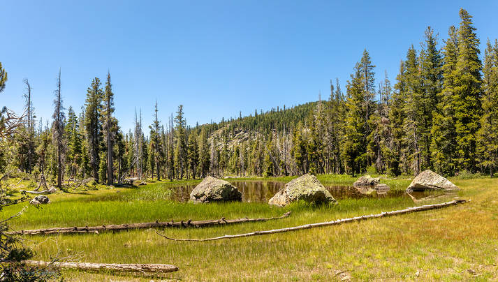
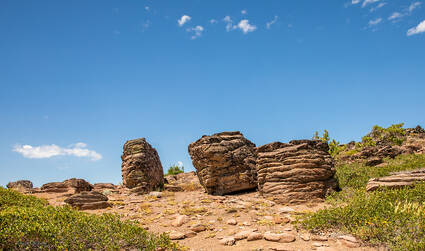
It was just a short while ago, (11,000 years or so) these hills were covered with glaciers. They left behind hollows in the granite, like this, to collect snowmelt for transient summer ponds and large boulders that can seem like a non-sequeter to the surrounding landscape.
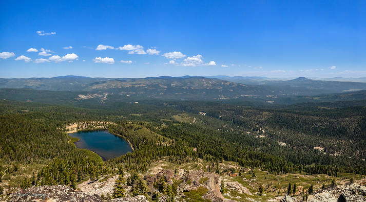
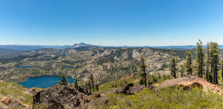
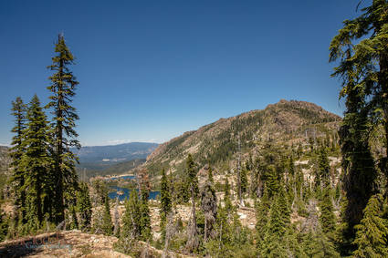
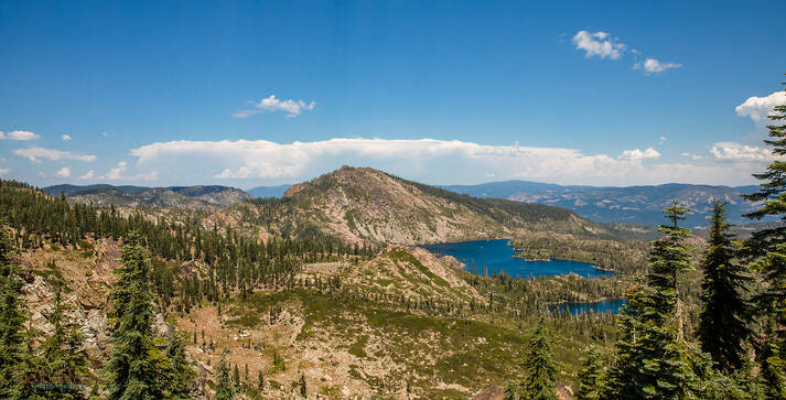
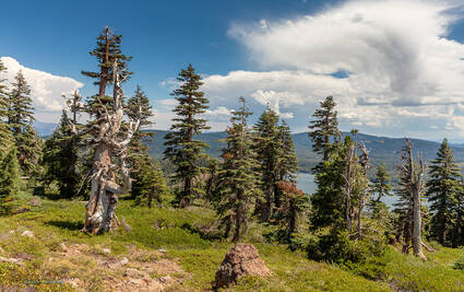
This is one of the view from the top of Mt Elwell. Those are the Sierra Buttes North off in the distance. That's Mud Lake in the foreground and the blue, blue sky above.
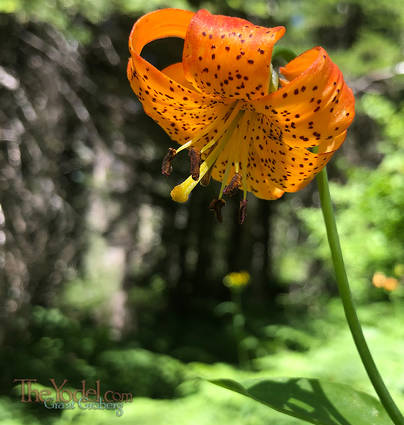
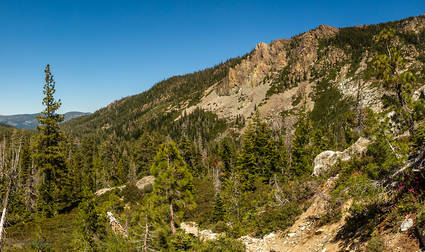
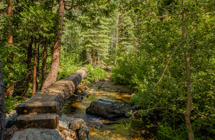
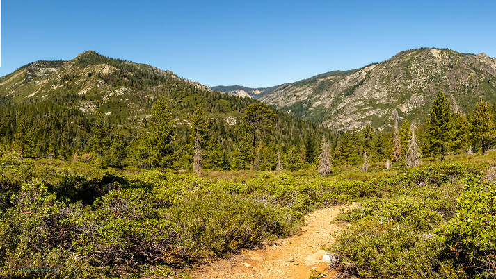
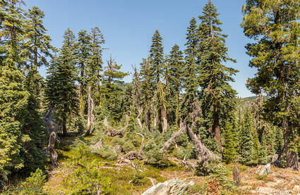
The valley between Mt Washington & Mt Elwell has lakes & streams and some lush foliage. If you visit at the right time of the year you might come across some of the wild lilies.
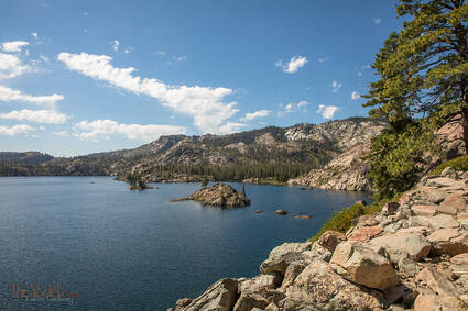
The trail along the north side of Long Lake is interesting. It is on the side of Mt Elwell which is rather steep and mad of rocky rubble.
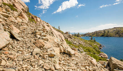
The trail itself is amazing. The rocky rubble has been rearranged
in a manner to create a (at times rather narrow) shelf upon which to walk. None of these pictures capture it right, because you can't see the steep upslope and the endless collection of stones below upon which you can split your skull open.
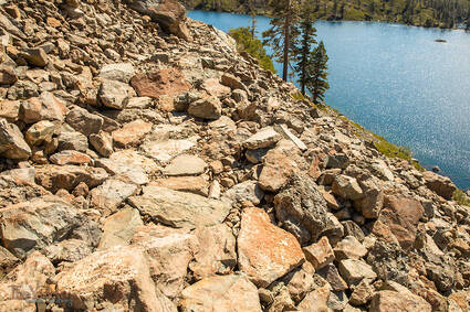
In other parts the trail is two or three feet wide with large boulders placed flat-side up to make a nice walkway. And there are some pretty cool oversized staires to clamber up (which don't photograph well at all.)
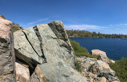
I looked at this 6-foot boulder and thought: "Gee, with a little super-glue and a couple of clamps you could make this rock as good as new." All of the pieces are there!
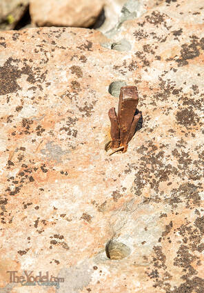
How to Divide a Rock: Drill a few holes, insert some "feathers," place your wedge between them and hammer away. I guess this one caused the feller some problems and he walked away with the job unfinished... I guess he had a splitting headache.
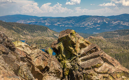
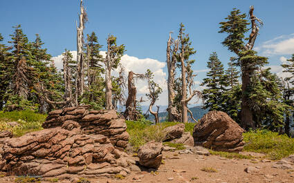
This picture would be a lot more interesting if I was about 30 feet farther down the slope. But it was a steep slope of slippery, broken rubble ending in precipice of I-don't-know-how-far down. Trusting my clumsy oafishness, I settled for this picture... What I find most interesting is the smaller block just left of center. You can see the lake behind on both sides and it looks balanced... just so.
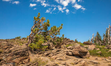
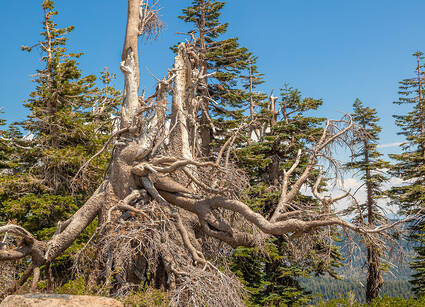
There is something of a breeze along the ridge top. Some spots are far more blustery than others. This is one of windier ones. Yet this pine tree is giving it a go.

 A Bit Above Sea Level