
Mid-Coast Meandering
From Gilroy to Carmel and a bit of bobbling about inland
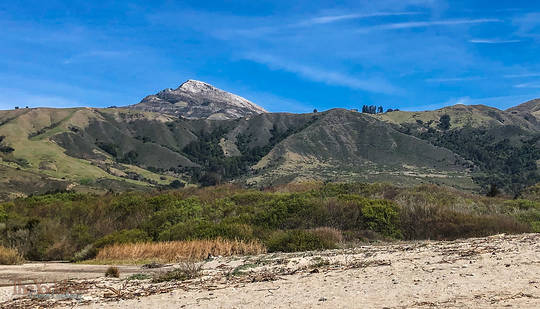
Pico Blanco is the only name I could find for this peak, and I found it on an old USGS map. It was shot from the beach at Molera Point while I was making an audio recording ot the waves there.
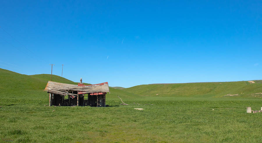
I don't know if I would want to park my tractor there, but the curvature of the roof is so inviting...
The old tank house seems to be leaning away from the friendly pepper tree. is it weary of the company?
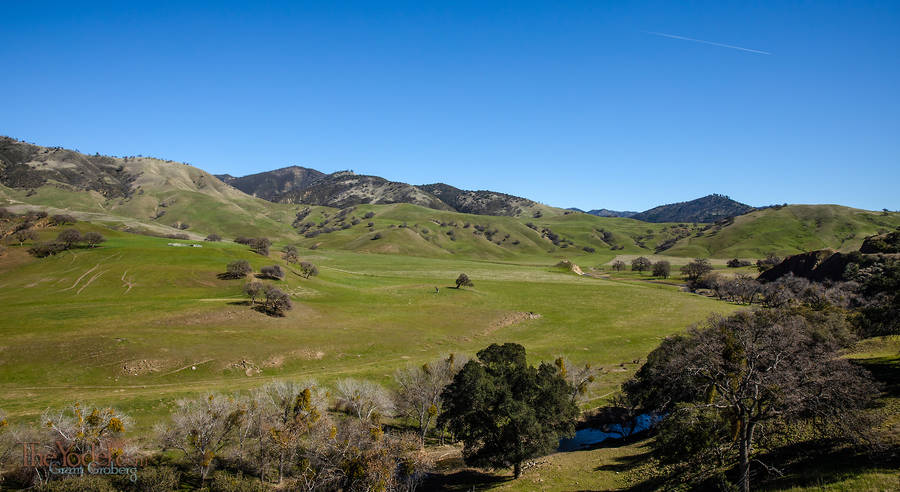
I don't know what they are supposed to be called but I like to call this a "sloughing hill" The green hillside seems like it cold have been 20% taller and over the millennia it's & pieces have realaxed their hold & slid down a bit more
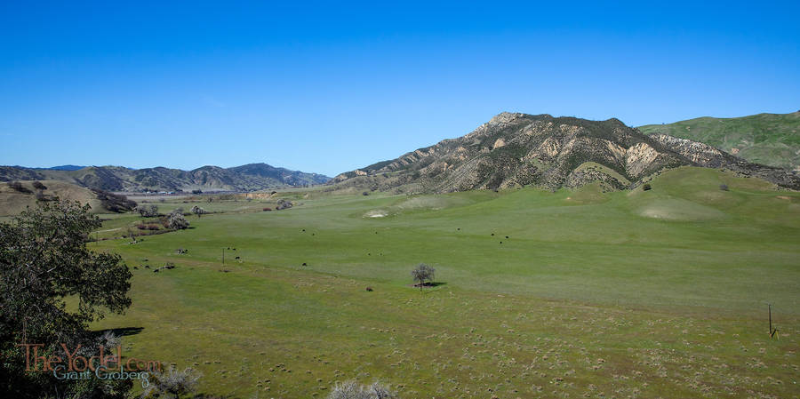
San Benito benito is over to the left right in front of that range back there... It isn't more that a dozen homes or so. A small town.
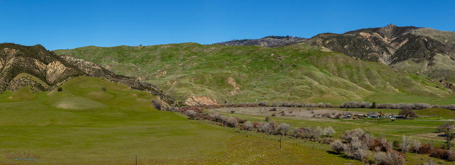
The road ended a bit beyond here. These hills will probably be golden and dry by May.
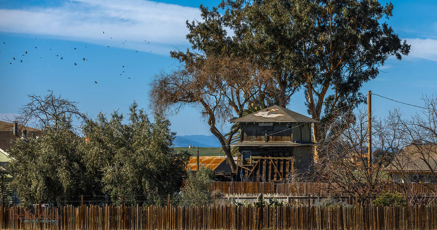
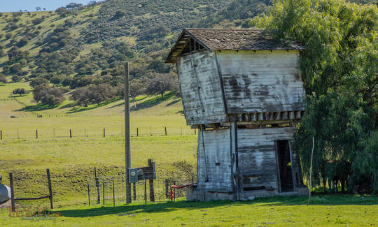
This sturdy tankhouse is missing the cladding on the south side. Iwonder if they needed the boards for the fence?
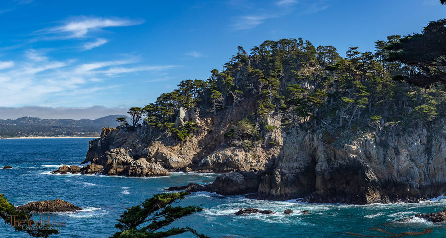
Some of the beautiful cliffs at Point Lobos.
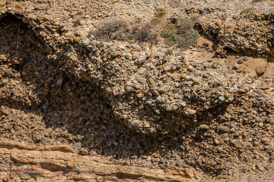
At the tip of Point Lobos there some interesting strata. You will see a layer of Sandstone and then another layer of these rounded river rocks and then another of sandstone... over and over again. What exactly is the story here? river, beach, river, beach? Millions of years of curiosity drive me onward.
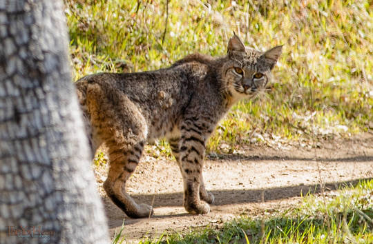
I was walking into the hills when I discovered I was sharing the trail with a young bobcat. I wasn't prepared to take any pictures So I had to stealthily take off the back pack & remove the camera... "what's all that racket?" the Bobcat said.
 Mid-Coast Meandering