Highway 162, the West End

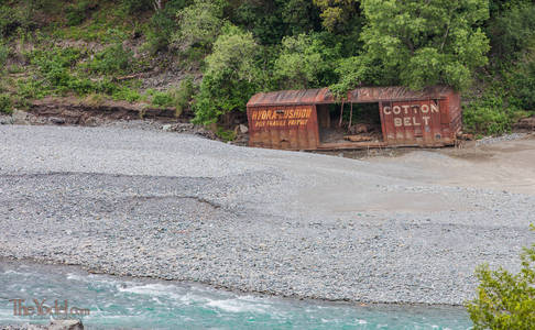
This set of pictures is from the western end of highway 162 in California. The 125 mile long section of road, the greater portion unpaved, that takes you from highway 101 just south of Laytonville all of the way to Willows at Interstate 5. Wrecked Box Car
From 101 it begins by winding though rugged cañons. and over rolling passes until it decends into the beauty of Round Valley with it's magnificent oaks. From there you come to the unpaved section that climbs up into the Mendocino National Forest. Be aware that some parts of this section are not maintained in the winter and will be unpasable due to heavy snow or delightfully slick mud that can spin you over the precipice. But if you are travelling after Memorial day & it hasn't rained lately it should be fine. Big Rock
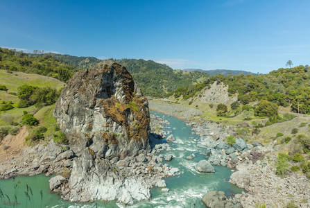
When you come out of the Mendocino National Forest toward the Sacramento Valley you will drive through one of my favorite areas of California. The bubbling and arrayed ranges of hills that form the northwest edge of the Sacramento Valley. Given a few hundred-million years some very interesting things can happen when you shove two tectonic plates up against each other. If you check out the satellite images, you can see can see the smooth & evenly folded rows of hills as if you were seeing the zipper that holds the state together. Driving along these valleys is, for me, somewhat calming. Their regularity is the result of an enourmously slow, chaotic and massive force.... and they're so pretty in the spring! In March they are Graced with a velvet overcoat of the most luxurient green. For a very brief period they will be graced with the pinks, oranges & yellows of various wildflowers. By May they will be mostly burnt into their summer gold with a few blushes of green here & there. Round Valley Entry Tag
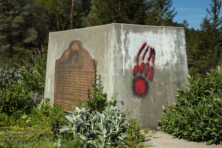
Except for the first picture, the images here are arranged from West to East. They were taken at different times of the year under different conditions. The proper position of the first image is about fifteen miles west (before... as the road twists) of the white flowers.

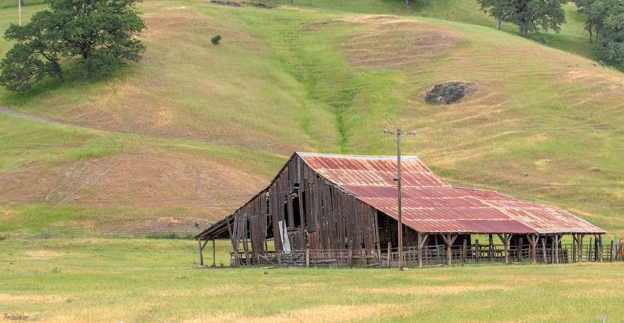
It is late spring. the hills have not yet been burnt to gold yet. This old, airy barn is still providing shelter to a few horses.

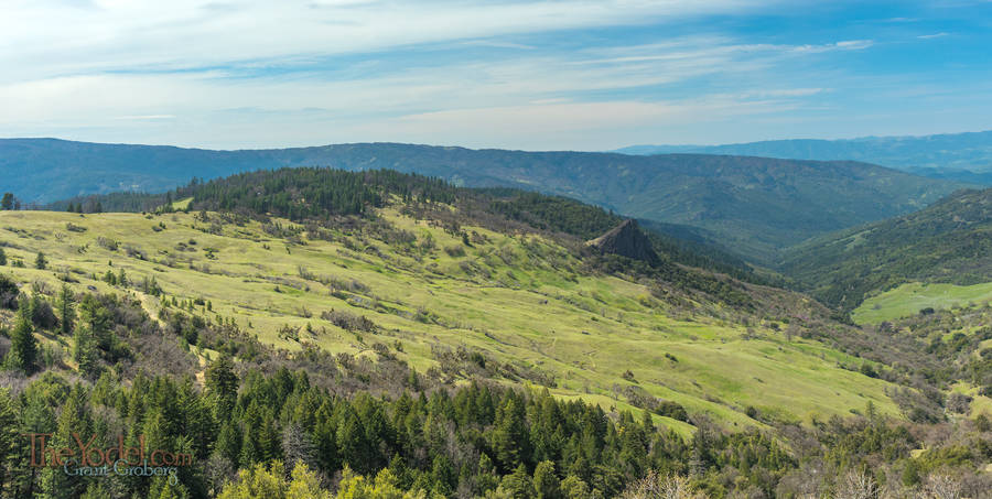
That big, green slope is a few miles long. There is something about it what make one want to start at the top and run down the whole length barefoot... Of course that is not to be done. once again we find another big chunk of rockin the midst of erosion... volcanic action of long ago?
Mountain Stream

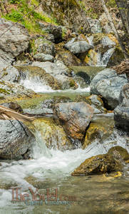
There are a few musical cataracts that cascade down the western side of the Mendocino National Forest. You should stop and visit one or two of them on your drive.

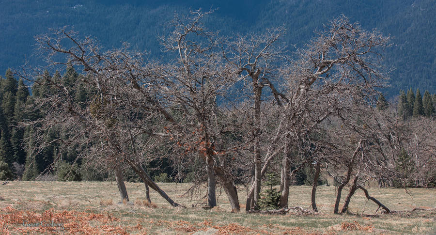
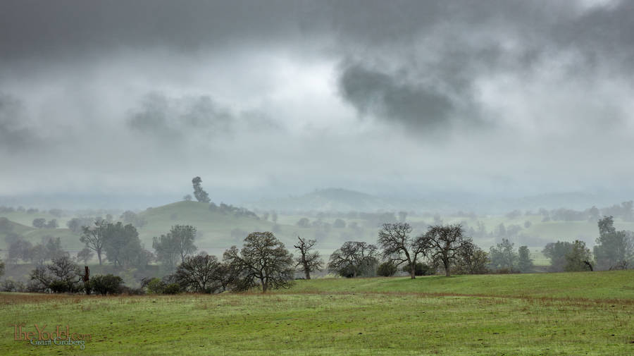
These oak trees remind me of a group of modern dancers posed just so. A few months later they will be dressed in their finest greenery.

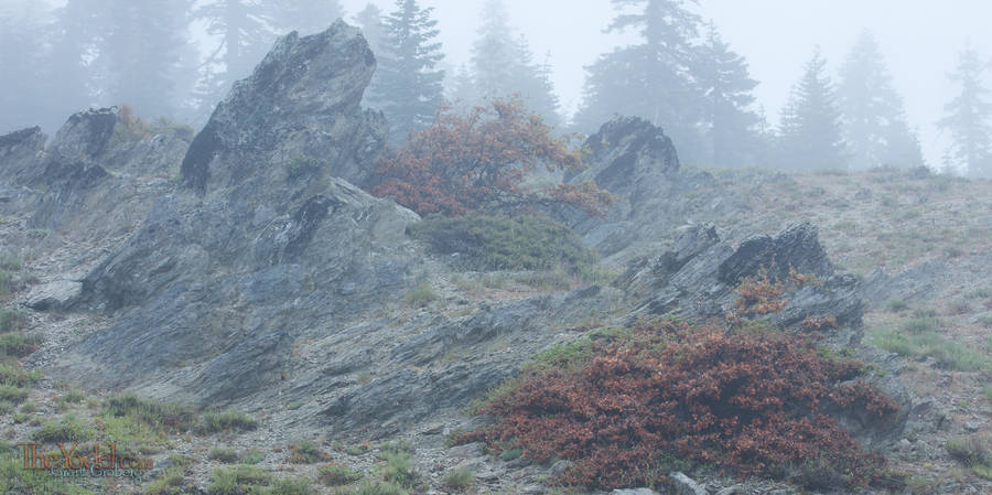
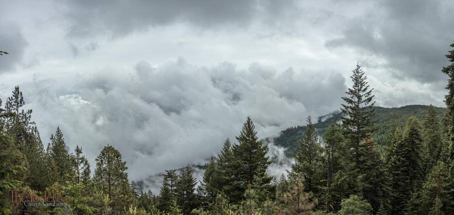
Some days, when you get into the higher altitudes the mountains are enshrouded by the clouds, transforming the rocks & forests into mysterious forms that dissolve into the mist.
Clear Days

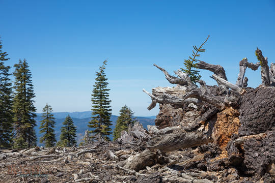
On other days the sky is blue and the air is clear enough it seems you can see all of the way to the ocean.
Snow Bent

Oscillating between deep snow and summer drought it takes grit for a seedling to survive up here.

Snow Bent

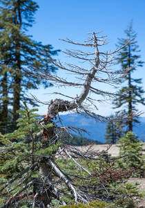
Even large, established trees show struggles through tough winters.

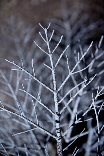
Barren Branch

This young tree didn't make it. The bare branches remind me of snowflakes.

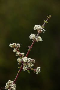
White Blooms

In early spring this shrub covers hillsides with its blooms.

West Overlook - March

This picture and the next were taken from just about the same spot 69 days apart. It gives you and idea of how quickly and drastically the inner part of California changes
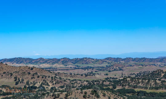
West Overlook - May

This picture and the previous were taken from just about the same spot 69 days apart. It gives you and idea of how quickly and drastically the inner part of California changes To the right of the picture, way off in the distance... that little light triangle is Mount Shasta, about 120 miles away. (~192 km)
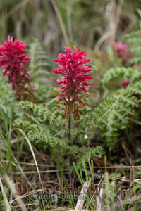
Magenta Wildflower

I originally thought this was a variety of the Castilleja genus, or Indian Paintbrush, in my references the leaves are wrong so I am not quite sure what this plant is other than a magenta wildflower.

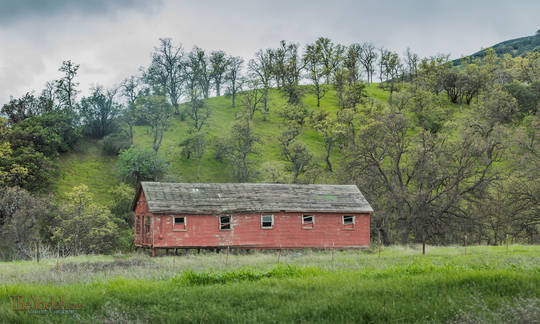
Red Building

Old and weathered, no longer used, this building rots away as we watch.

For some reason, looking at these hills I think there must be Hobbits living in them.

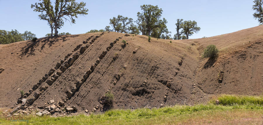
In this next section of the drive you can really get your geology-geek on. Broken chunks of the ancient ocean floor tilted up at about a 65-degree angle... the soft layers erode away while the hard layers turn the hillsides into dragon spines.

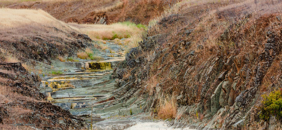
Water must flow and over millennia it has carved these stepped stream beds across the hard strata.

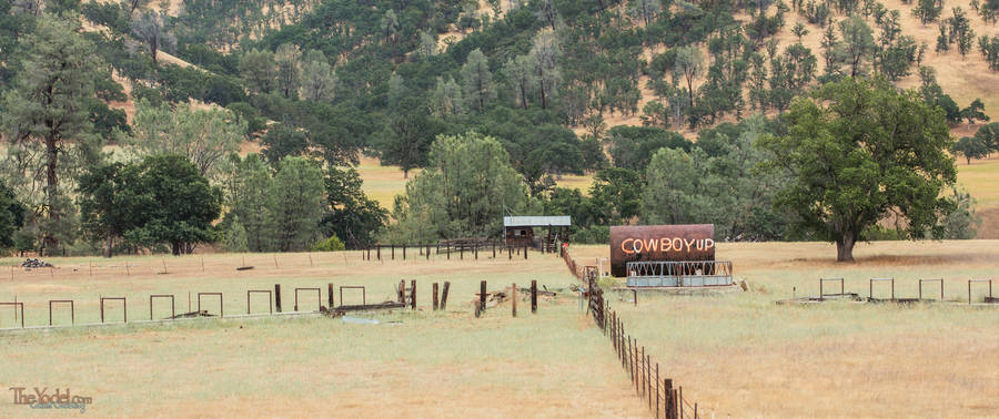
Of course this part of California is ranch land. Every once in a while you need a reminder to Cowboy Up.

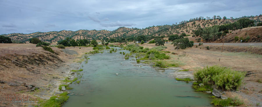
You can see the strata running across the river with the torsioned hills behind.

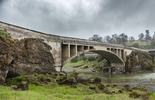
Abandoned Bridge

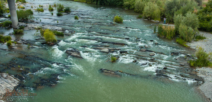
The previous shot and the next were shot from this, lovely, abandoned bridge.

Up stream from the bridge there are mored strata making carefully aligned rapids. On the top right of this image you can spy another photog figuring out where to get his best shot of the bridge.
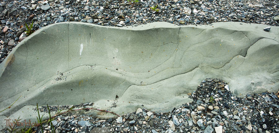
Millennia of constant flow carves the strata into beautiful contours.

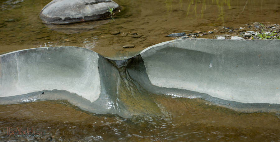
In low flow periods the strata guide the water through labyrinthine paths.

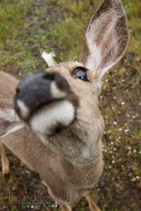
My New Friend

On one of my visits to the bridge I was met and followed about by this young doe. She was exceedingly friendly. Sadly there were no houses near so I don't think she was someone's pet.

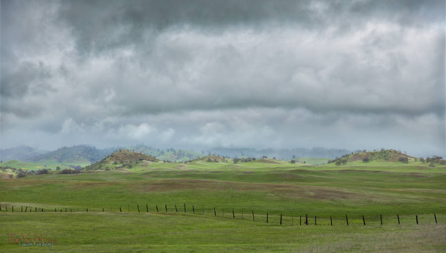
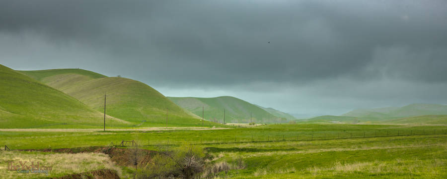
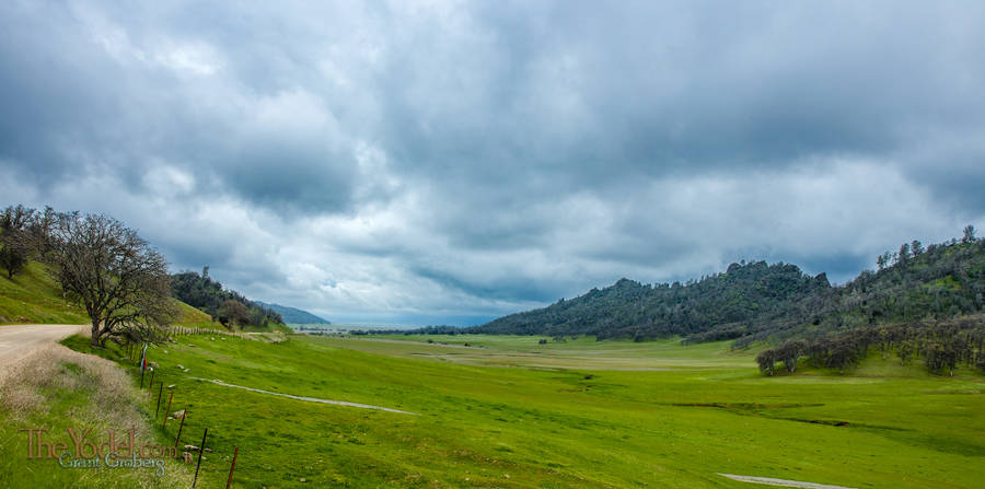
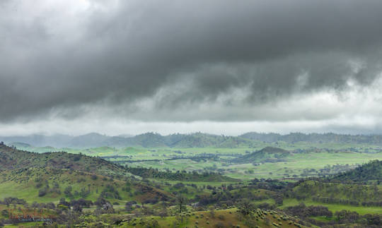
In early spring, the weather hangs both high and low, allowing the opportunity for the occasional dramatic shot.

Low-hanging clouds over green, billowing hills at the eastern bit of the highway 162 drive.

And if you turn south off of 162 at Elk Creek, and then keep driving until the road goes bad, you will have the opportunity to drive through Bear Valley, one of my favorite Northern California drives.

Photography Posts
Alaska? Alaska!
Jul 29, 2016
So Where was I? Oh yeah, I was getting on a ferry to Alaska. That was three weeks and a few thousands miles ago. Ah, the romance of the high seas... "Just give me a tall ship and a star to sail her by"...
  Highway 162, the West End
Wildlands of San Francisco
May 26, 2016
It is all around us and it is relentless. Right now it is working at destroying our homes and cities. While we sleep at night it is tirelessly toiling away. Overcoming everything we know. Everything we have made. Everything we will ever do. There is no escape. We are in a symbiotic relationship with it. We love it deeply and without it we will die. Yet in the long run, our species will be gone and it will overrun this world until all life is gone and there is nothing left but a burnt ember orbiting the Sun.
Some Humble Abodes
May 23, 2016
There are uncounted scads of really nice Victorian houses in San Francisco and if I was to take pictures of the best of them I couldn't afford the film... er... hard drive space. Besides, San Francisco has many more syles of houses beyond Victorians. This a selection of a few that I have shot in the past month or so.
Fort Bragg on a Foggy Night
May 12, 2016
The fog rolls in.. It is late on a late spring night. Nothing on TV. There never is. Grab the camera & tripod... it's time to take a walk.
And a Few More Pictures of San Francisco
May 09, 2016
There are always a few left-over pictures that don't seem to fit in with any article.. I'll throw in a Batch of San Francisco images here. these are shot in all sections of the city, and are not displayed in any particular order.
California's Lost Coast
May 07, 2016
There is an area of California known as the Lost Coast. Somewhere north of Fort Bragg, south of Ferndale and west of highway 101. There are a few ways to get there but fewer people who will tell you how. Some places you can drive to, much of it is accessable only by foot if at all. It is one of the remaining places that Sasquatch can run free.
What are you going to do in San Francisco anyhow?
Dec 28, 2015
I like San Francisco. I always have. For my first job I was a driver for a water lab. Every morning I had to drive from Redwood City to Marin (through San Francisco, of course). I had all morning to do the drive plus my lunch hour. I would often spend my lunch hour picking a new route through the city. Way too much fun to be paid for, but i took the money anyway. Now I had the opportunity to spend all day every day in the city.
Recent Pictures
Jun 19, 2015
May & June get lumped together. Lots of packing. 56 years of house to deal with. Getting my replacements at Gryphon up and running.
Some Recent Pictures
May 19, 2015
April was an interesting month. Packing things up. A few shots testing a new Canon 100-400mm lens. Of course when packing things can get messy... I knocked over a pile of empty film reels. It looked so nice I just had to take a picture.
A Jaunt to Nevada
Jun 04, 2016
Though San Francisco is the place to be, it was no more the place for me. It was the end of February. Time was up for my place in Pacific Heights and I wanted to get a little more distance between myself & the house remodel. My solution was to move to Fort Bragg for the remainder of the house thing. "But why, then, did you drive to Nevada?" You sagely ask. It's simple. Since we were selling the house, I needed a new mailing address.
San Francisco Skylines - Part Two
Apr 19, 2016
We all do it, some folks more than others. Perhaps your practice is utilitarian, maybe you are just following a whim, whaterver your purpose San Francisco is a great town to do it in. Even with all the hills, in fact the hills might make it better
  Contact
  About Us
- - - - -
Keywords in This Article

Back Road
Backroad
California
Mendocino County

Unless otherwise credited, all content on TheYodel.com is
Copyright © 1999 - 2024 Grant Groberg
All rights reserved.
yup