A Jaunt to Nevada
Though San Francisco is the place to be, it was no more the place for me. It was the end of February. Time was up for my place in Pacific Heights and I wanted to get a little more distance between myself & the house remodel. My solution was to move to Fort Bragg for the remainder of the house thing. "But why, then, did you drive to Nevada?" You sagely ask. It's simple. Since we were selling the house, I needed a new mailing address. Since my intent, after the house sale is to take a drive and land someplace that isn't California. All I really needed was a Mail Forwarding Service. Nevade means I would get to drive around with non-California plates. And, even though I will be oficially homeless, the mailing address would give me residency n the State of Nevade and they have no income tax! Heck corporations do it all the time!
The agenda was: from San Francisco run up to the storage unit in Willows. From Willows pop over to Fallon NV spend a day or so there getting the PO box License & such. Finally, from Fallon buzz over to Fort Bragg. I love making plans like this. They are so simple, purposeful & solid. And so easy to break.
There are always agenda's within the agenda. Backroads! Wee haw! I wanted to drive highway 20 as far as I could into the Sierra Nevada. Highway 20 is a long road, about 220 miles, that crosses nearly the entire state of California from west to east. In the west. It begins at highway 1 right here in Fort Bragg. It winds through the redwood forests of the Coastal Range to Willits, "Gateway to the Redwoods," where it merges with highway 101 south for 15 miles or so to the bustling metropolis of Capella. From Capella it crosses the eastern side of the coastal range, past Clear Lake, then crossingthe Sacramento Valley and then up into the Sierras.
I got a good, early start from San Francisco. ran the 200 miles to Willows & finished with my stuff at the storage unit by about 10am. Now I had to pick up Highway 20. I was going to do this in Colusa so I toodled with the country highway 45. Sniffing the breese with the window opened, I was sudden't shocked from the amount of racket that was coming from an old farmstead. It sounded like black birds. About fifty-billion of them. I had to stop and record them. Yes you can hear them over traffic noise!
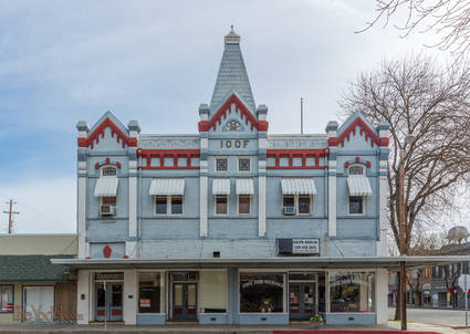
Colusa is a sleepy little town situated right on the Sacramento River. Typical of the small towns of the valley it has broad, tree-lined streets. Is had that sedated Sunday feeling as I criss-crossed the streets. Then again it was a Sunday when I was there. As soon as I made it to Highway 20 in Colusa, I turned off of it onto the road that runs atop the levee that holds in the Sacramento River. Ah, Now this leads to the road that skirts along the southern edge of the Sutter Buttes (The first picture on this page). Sutter Buttes is the eroded reminants of a valcano that erupted 1.4 to 1.6 million years ago. It's kind of a youngster when compared to other geologic events. At the time The Sutter Butte volcano was doing its thing the Yellowstone Hot Spot was in Idaho. (16 million years ago the hot spot was at the corner of California & Oregon) But an extict, eroded volcano that I have been looking at for years as I drove interstate 5? ... I just had to go say hello, even if it was just in passing.
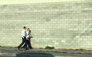
As highway 20 climbs into the Sierra Foothills It becomes a nicely paved highway that glides through the vales & vistas. A pleasant excursion indeed. You join interstate 80 at the Yuba Pass, climb up tothe Donner Pass and then you can almost coast all of the way to Reno. I finally made it to Fallon Nevada about 5:00 and pretty quickly spotted a pair of Mormon Missionaries.
It turned out that Fallon wasn't a good match for me. Perhaps I was reading it wrong but it seemed to me to be a well-spent town with a third-rate casino in its center draining what life might be left. Scattered about the town were 10 or 15 more strip mall casino/clubs picking up what dollar bills & quarters might be left. Two pawn shops seemed like too many for a town this size. but there is a Naval Air Base nearby. I suppose those are the paychecks that support the place.
Plans change and that's a good thing. Since I was freed from having to become a citizen of Nevada, I could fool about and take a random route back. The Tesla Giga-factory is right off of interstate 80 back there somewhere... maybe I could get a tour.
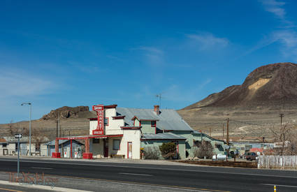
Driving around the desert has a breathtaking charm about it. With no trees or forests to get in the way, the views extend all of the way to the next hillside or mountain range. Everything seems crisp and clean and tightly manicured. The Hazen Market probably hasn't been open for years and the arid desert climate has preserved it like a gem.
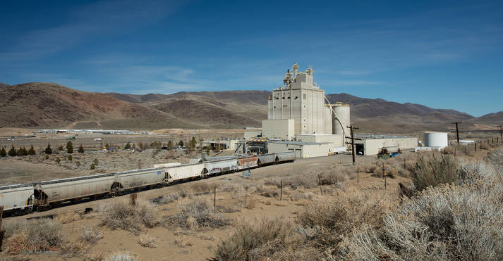
The Tesla Gigafactory is in Clark, Nevada Being out in the middle of the desert & right next to interstate 80, Clark has a number of really huge warehouses. A half-million square feet and larger. Walmart, eBay, Petsmart... they all have warehouses here. The picture above is the KalKan factory. They make pet food that is sold exclusively at Walmart. The area around Clark looks like it is being set up to host dozens of these massive structures. There are signs & roads to nowhere. Looks like it is going to be good business. But I don't think they will host tens of thousands of employees. I don't think I saw more than 50 cars outsind of one of these.
The Tesla Gigafactory has a guard at the gate. I suppose I shouldn't be surprised. He was friendly enough, but he wouldn't let me in, so I had to turn around and go back. I suggested that he had a lonely job way out here in the middle of the desert. "Well," he replied, "If it is cold or rainy it can get pretty quiet, but there are days where I turn away quite a few." As I was making the turn-around a red Volvo came driving up I pulled over just to watch. Sure enough, they turned around and sped on past me.
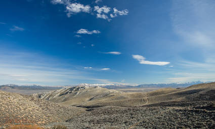
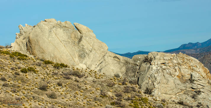
The lee side of the Sierra Nevadas is an arid place. The peaks of the mountains catch most of the rain & snowfall gining the eastern slopes the quality of a sage brush splendor. i eventually made it over to Carson City with enough time to spare to try to get lost in the eastern foothills.
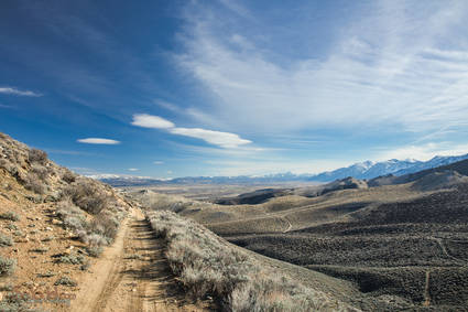
There are a number of these dirt tracks that branch off and then branch off and then creep along a hillside to suddenly stop. but I didn't have to back up more than a few hundred yards to find a place wide enough to turn around.
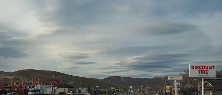
In the dusk of the day lenticular clouds formed over distant mountain ranges. The next morning I whiled along the base of the Sierras on Jacks Valley road until I hit the Kingsbury Grade, a less traveled route to Tahoe.
From Tahoe it was highway 89 to 88 where I was able to drive through Hope Valley where in the distance you can see Freel Peak & Job's Sister.
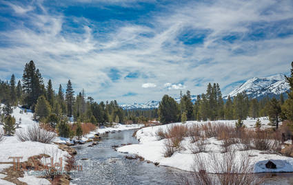
The west fork of the Carson River, is heading east. I still haven't made it to the top of the Sierras yet.
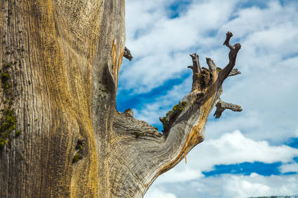
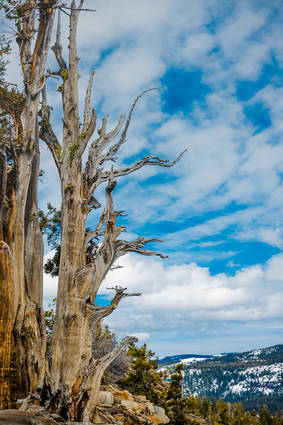
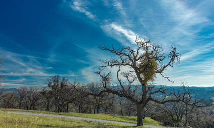
A weathered Juniperus occidentalis branchwas the last shot of the day. From here I coasted down into the San Joaquin Valley. all of the way to Turlock.
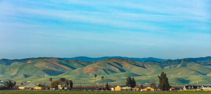
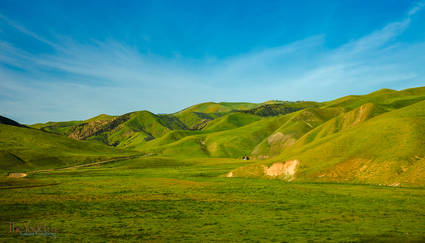
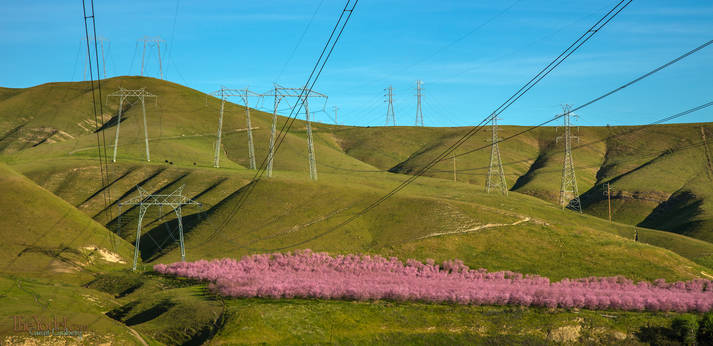
Spring in the Valley It is March 2, Spring is in full swing and the Coastal foothills by Patterson, CA are burnished with the gold of California Poppies. I am going to take Highway 130 over Mount Hamilton back into the Bay Area.
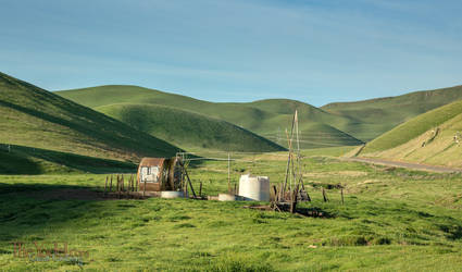
Cloaked in green velvet, the undulating foothills are at their most beautiful this time of the year.
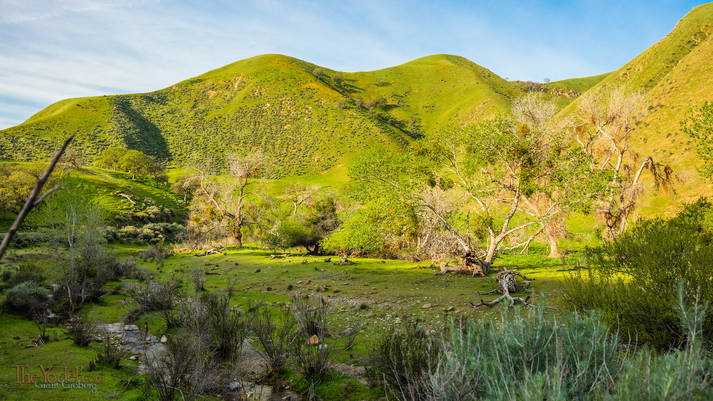
The Songbirds were shouting about spring. There was a burbling brook and I couldn't help but record the racket!
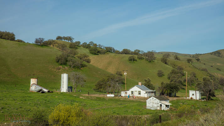
One of the tanks at this farmstead has crumpled. yes they are still nestled away in a quiet & pretty location.




 A Jaunt to Nevada