Hey, Let's hit Idaho
So I decided to scoot over to Washington... First I had to get across Idaho.
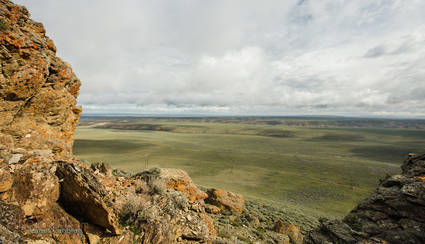
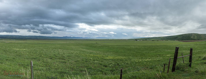
It might look smooth & level but there are a lot of rugged canyons between here and the horizon. The Oregon trail is about 50 miles up that-a-way.
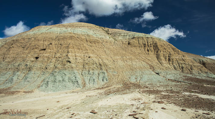
A bit Northwest of Pilot Butte there are some blue canyons. The one where I was fooling about had a hard strata about halfway down. This created a shelf about 3 to 30 feet wide. Above that layer were smoothy soft eroding hillocks, below was a thrilling 150 foot drop
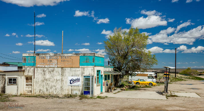
This is the gas station just south of Fontenelle, WY. it is a quiet little tow... I think they have two streets.
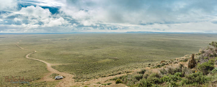
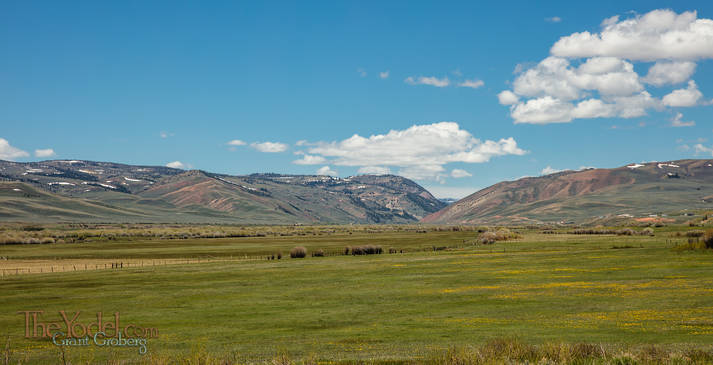
When I see a gap in the hills like this, and a road running vaguely in that direction, I just can't resist.Unfortunately the road was washed out about 10 miles in.
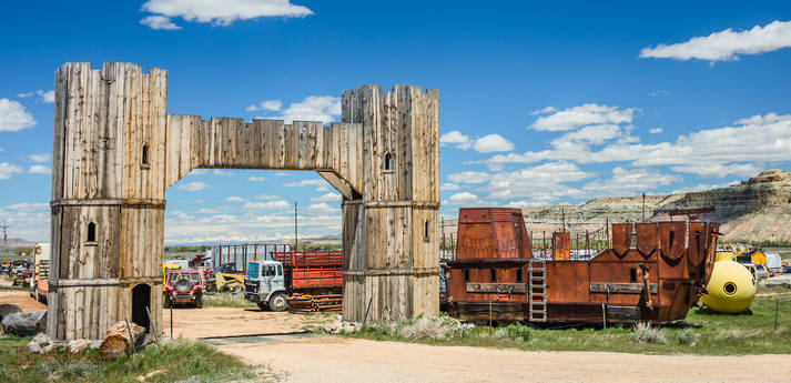
What do you do when you live in the middle of a junk yard way out in the middle of nowhere? You use your imagination & a mig welder.
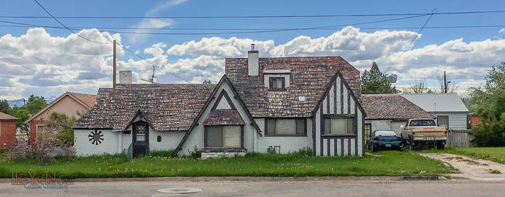
I like Montpelier, ID. Not only can they boast of having the last standing bank known to have been robbed by Butch Cassidy. There was a house builder here who seems to be unable to build two houses the same. In fact you can drive down a street and pass 10 houses in a row, each of them distinctly different. Some seeming out of place in a small western town like this.
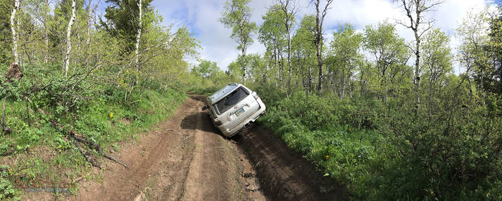
From Montpelier I was going to head west and find a different way to cross the Divide. I didn't account for the extra wet winter and the recent rains. I actually slipped into the gulley when it ran across the road about 100 yards further. I was unable to go forward and in 100 yards backwards I was not able to get out.
From here I walked about 5 miles until I could get a ride to a place with cell phone coverage. At this spot there was a guy in a Jeep calling for a tow truck... I wasn't the only one that day... He agreed that the tow truck could get us both out when it was here & we could split the cost. As we talked further, he thought that with his knobby tires his Jeep might be able to pull me out (after all, I had taken the commemorative picture already so he knew what he was in for)
He was right, and the Jeep was able to pull me out. He pointed out that I was really lucky to get stuck where I did. Not only would the tow truck not been able to make it, but had I gotten another mile or so deeper into the mountains, it was so wet from all of the rain that I probably would have had to wait a month for things to dry out before anyone would even make the attempt at a pull.
So the lesson here is, no more slick muddy roads until I get knobby tires & a winch.
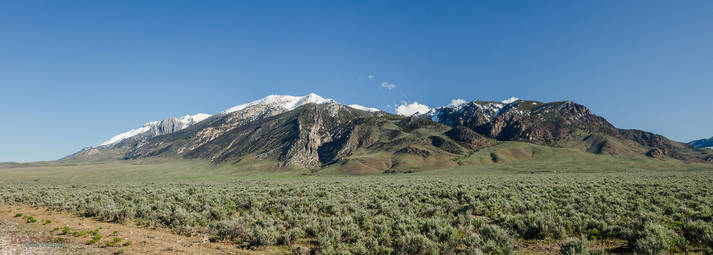
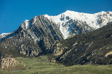
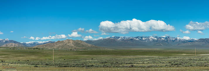
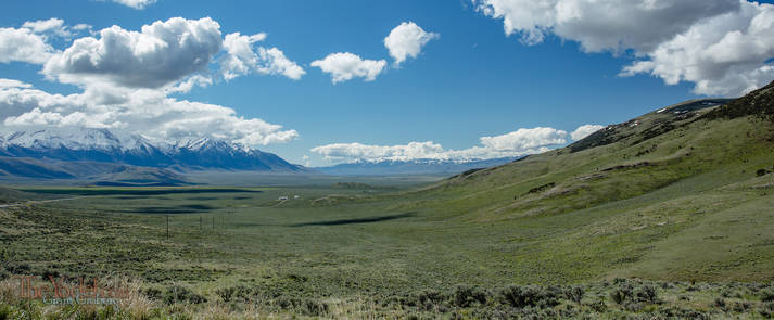
This is a view of Thousand Springs Valley. In 1983 there was an earthquake here that caused the valley floor to drop 7 feet and the mountain behind me to raise a foot and a half. It measured 7.3 on the Richter scale.
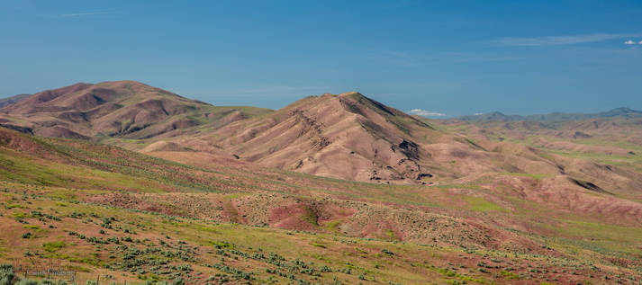
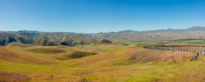
Crossing over from Idaho to Oregon. The seed heads of the grass that covers these hills is a burgundy color before it dries out. So for a few days per year, the hills turn pink.
Lost in the foothills... A view to the south by Richland Oregon. The unripe grasses are turning the hills pink.
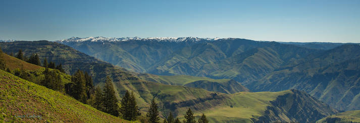
Hells Canyon You are looking across the Snake River from Oregon to Idaho. Interesting how the snow line starts at the horizon. Hells Canyon is the deepest canyon in North America, beating the Grand Canyon by about 1300 feet. If you look at the canyon walls you can see multiple shelves. This is not sedimentary rock layers but basaltic lava flows that erupted and flowed one on top of the last over millions of years.


 Hey, Let's hit Idaho